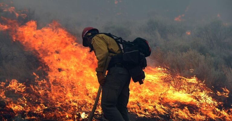


Nearly two days after the Papa Fire ignited 13 miles east of Flagstaff, firefighting efforts had greatly reduced its spread.
As of Wednesday morning, the fire was mapped at at 118 acres burned and 25% containment on InciWeb and the Wildfire Enterprise Geospatial Portal. That was a slight reduction from the prior estimate on Tuesday morning of 135 acres, due to improved accuracy of mapping.
About the Author
To get daily local headlines delivered to your inbox each morning, sign up for newsletter!